Istria and Kvarner: Rovinj to Cres, Losinj and Rab
The map opens as you scroll to it
The northern end of the Croatian coast: Istria's Venetian towns, the big Kvarner gulf and the long islands of Cres, Losinj, Krk and Rab.
JFMAMJJASOND
The region
Istria is the part of Croatia closest to the rest of Europe, and many owners keep a boat here because it is a day's drive from Austria, Germany and northern Italy. The west coast runs from Umag down past Novigrad, Porec and Rovinj to Pula, with Venetian bell towers, fishing harbours and a string of marinas. Distances are short and there is a good harbour every ten miles.
Round the southern tip of Istria at Cape Kamenjak and the coast opens into the Kvarner gulf. Across it lie the long, bare islands of Cres and Losinj, joined by a swing bridge at Osor, with Mali Losinj tucked into a deep inlet at the south end. Krk, the largest island, is linked to the mainland by bridge; Rab, further south, has a walled old town and green, wooded coves on its north side.
This is a quieter cruising ground than Dalmatia, with more local boats than charter fleets outside July and August. The small islands south of Losinj, Ilovik and Susak among them, feel a long way from the busy Istrian resorts though they are only a few hours' sail away.
Winds and season
The season runs from May to October. Summer days usually bring a light to moderate north-westerly sea breeze, the maestral, in the afternoon. The bura (bora) is the wind to respect here: a cold, gusty north-easterly that falls off the mountains behind Rijeka and Senj, often with little warning and with gusts far stronger than the forecast mean. It is most frequent and strongest from autumn to spring, but summer bora days happen too, especially in the Velebit channel. The jugo, a humid south-easterly, builds a long swell over a day or two and brings rain and poor visibility. Summer thunderstorms can bring short, violent squalls.
The region in numbers
Counted from the records on Boat Almanac, November 2026. A number missing or wrong? Correct it on the place's page, and it helps the next crew planning here.
Getting there
- Pula (PUY), Pula about 32 km from the middle of the region
- Rijeka (RJK), Rijeka(Omišalj) about 32 km from the middle of the region
- Trieste (TRS), Ronchi dei Legionari/Trieste about 113 km from the middle of the region
Straight-line distance; by road it is usually a third longer. Each marina page gives its own nearest airports.
Legs along the coast
| To | About | At 6 knots |
|---|---|---|
| North Dalmatia | 95 NM | 3 days of about 8 h |
Middle of one region to the middle of the next, with a quarter added for the coast and the wind. Plan the real legs in the route planner.
Want company on these waters? Find a buddy boat or crew on Sail together.
Where to stop
- Rovinj
Picture-postcard old town on a hill; marina and a town quay, busy in summer. - Pula
Roman amphitheatre above a large natural harbour with marina and yards. - Medulin bay and Kamenjak
Shallow sandy bays and a nature reserve at the tip of Istria. - Osor
Tiny town at the swing bridge between Cres and Losinj; the bridge opens at set times. - Mali Losinj
Long, well-sheltered inlet with town quays and a good range of services. - Ilovik
Narrow channel between Ilovik and Sveti Petar with mooring buoys and quiet restaurants. - Rab town
Four bell towers above a harbour on the south-west side of the island. - Krk and Punat
Punat is a large, sheltered marina in a lagoon on Krk, good for crew changes.
Been here? Rate a cove in a few taps and the next skipper will thank you.
Anchoring and mooring
Mostly sand and mud with weed patches; holding is generally good in the Kvarner bays but check your anchor has set through any weed. Many popular bays have paid mooring buoy fields in summer. In town harbours you moor stern-to on lazy lines laid by the marina or harbour staff. Pick a bay with shelter from the north-east before settling for the night if bora is possible.
A one-week route
A realistic loop for a week, with short days you can stretch or cut to the weather. Check every leg on the chart and the route planner.
- Pula to Medulin and the Kamenjak bays, about 12 NM. Short first leg, swim and settle in.
- Kamenjak to Mali Losinj, about 30 NM across the Kvarner. Leave early to cross before the afternoon breeze builds.
- Mali Losinj to Ilovik, about 8 NM. Buoys in the channel and a lazy afternoon.
- Ilovik to Susak and on to Osor, about 25 NM. Time your arrival for the bridge opening.
- Osor to Cres town, about 15 NM. A walled town at the head of a deep bay.
- Cres to Rabac or the bays of eastern Istria, about 20 NM.
- Back round Cape Kamenjak to Pula, about 25 NM.
Rules and protected areas
Clearing in: Umag, Porec, Rovinj, Pula, Rijeka and Mali Losinj are among the ports of entry, some only in summer; foreign boats must go there first to clear in with the harbour master and border police. Step by step in Arriving by boat in Croatia.
Fuel, water, repairs and supplies
Istria has some of the best-equipped marinas and yards in Croatia, with lifts, engine dealers and sailmakers around Pula, Rovinj, Porec and Umag; Punat on Krk is a long-established yard. Fuel stations are at most marinas and larger harbours, including Mali Losinj and Rab. Water and power are at marinas and on many town quays for a fee. Supermarkets are in every town; small islands like Ilovik and Susak have only a shop or two.
Marinas
All marinas in Croatia → MarinaACI Marina CresCres 461 berths VHF 17 Fuel · Water · Power · Wi-Fi · Showers
 Cres
 MarinaACI Marina OpatijaKraljevica 281 berths VHF 17 Wi-Fi · Restaurant
 MarinaACI marina PomerBanjole 296 berths VHF 17 Power · Wi-Fi · Restaurant MarinaACI Marina PulaPula 420 berths Boats up to 40 m VHF 17Pula's marina puts you a 15-minute walk from the best-preserved Roman amphitheatre outside Rome, still used for…
 MarinaACI Marina RabBanjol 142 berths VHF 17 Wi-Fi · Restaurant
 MarinaACI Marina RovinjRovinj 192 berths VHF 17 Wi-Fi · Restaurant
 MarinaACI Marina ŠimuniŠimuni 191 berths VHF 17 Wi-Fi · Restaurant
 MarinaACI Marina Supetarska DragaSupetarska Draga 328 berths VHF 17 Wi-Fi · Restaurant
 MarinaACI Marina UmagPortorož 475 berths VHF 17 Wi-Fi · Restaurant
 MarinaBernardinPortorož Restaurant
 Portorož
 MarinaCrikvenica harbourKraljevica 23 berths Fuel · Water · Power · Restaurant
 MarinaFažanaPula Restaurant
 MarinaIlovikIlovik Power · Restaurant
 MarinaKraljevica harbourKraljevica 120 berths Boats up to 40 m Water · Power · Wi-Fi · Restaurant
Boatyards and haul-out
All boatyards in Croatia → BoatyardBrodogradilište KraljevicaKraljevica Restaurant
 BoatyardBrodogradilište KrkKrk Restaurant
 BoatyardLošinj ShipyardMali lošinj Restaurant
 BoatyardRovinj Boatyard (Montura)Rovinj 100 t lift Boats up to 25 mMontura Boatyard is the most modern facility in Istria, featuring a 100-tonne travel lift and purpose-built hardstanding for…
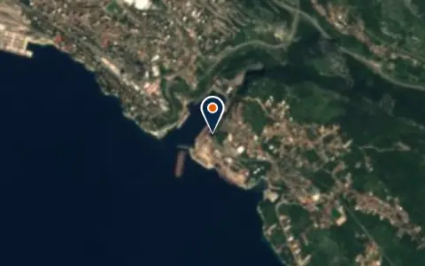 BoatyardViktor Lenac shipyardKraljevica 25 t lift Restaurant
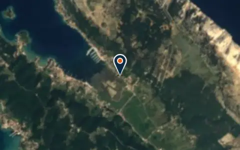 BoatyardBracolSupetarska Draga Restaurant
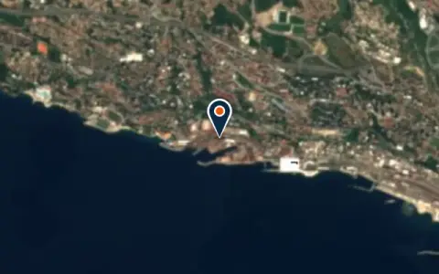 BoatyardBrodogradilište 3. MajRijeka Restaurant
 BoatyardBrodogradilište CresCres Restaurant
 BoatyardBrodogradilište KantridaKraljevica Restaurant
 BoatyardBrodogradilište UljanikPula Restaurant
Boat services
All boat services →Charter
All charter →Sailing schools
All courses →Wind here, next 7 days
The forecast loads as you scroll.
Hour by hour, waves and sunset → · Data: MET Norway (CC BY 4.0). Always check the official marine forecast before you leave.
Questions about Istria and Kvarner
Is the bora dangerous in Kvarner?
It can be. The bora comes down off the mountains in strong gusts, often with a clear sky, and the Velebit channel and the waters off Senj see the strongest blows. Check the forecast every morning, choose anchorages open to the south-west and sheltered from the north-east, and stay in harbour when a strong bora is forecast.
Can I visit Brijuni National Park by boat?
Only with permission from the park and on its terms. Private boats cannot simply anchor off the islands; contact the park in advance or visit on an organised trip.
When does the Osor bridge open?
The swing bridge between Cres and Losinj opens at set times, usually twice a day in summer. Check the current times with the harbour master or at the marina before you plan your passage.
Cruising nearby
Written by the Boat Almanac editors from charts, official notices and boaters' reports; lists are updated from the almanac every day. Something changed? Suggest a correction.