Malta, Gozo and Comino: Grand Harbour to Mgarr
The map opens as you scroll to it
A small, busy archipelago in the middle of the Mediterranean: Valletta's harbours, the bays of Malta's north coast, Comino's lagoon and green Gozo.
JFMAMJJASOND
The region
Malta sits halfway between Sicily and North Africa, and has been a port of call for sailors for thousands of years. Valletta, the walled capital, stands between two great natural harbours: the Grand Harbour, with Birgu and its marina facing the city across the water, and Marsamxett, where most yachts berth at Msida and Ta' Xbiex.
The archipelago is small: from Valletta to Gozo is less than twenty miles. Malta's north coast has the bays of St Paul's and Mellieha; Comino, between Malta and Gozo, has the turquoise Blue Lagoon, which is crowded with tour boats by day. Gozo is greener and quieter, with its port at Mgarr and small inlets at Xlendi and Marsalforn.
Many sailors use Malta as a base or a winter stop: marinas are well equipped, English is widely spoken, flights are frequent and the climate is mild all year. It is also a natural stepping stone between Sicily, Tunisia and the eastern Mediterranean.
Winds and season
Sailing is possible all year, with the main season from May to October. The prevailing wind is from the north-west, often fresh in the afternoons. The gregale, a strong north-easterly, mainly in autumn and winter, can send a heavy sea into north-east-facing harbours and bays, including the Grand Harbour entrance in the past. The sirocco from the south-east brings hot, dusty air and swell. Summer is hot with settled weather.
The region in numbers
Counted from the records on Boat Almanac, November 2026. A number missing or wrong? Correct it on the place's page, and it helps the next crew planning here.
Getting there
- Malta (MLA), Valletta about 15 km from the middle of the region
- Catania-Fontanarossa (CTA), Catania about 181 km from the middle of the region
- Comiso (CIY), Comiso about 119 km from the middle of the region
Straight-line distance; by road it is usually a third longer. Each marina page gives its own nearest airports.
Want company on these waters? Find a buddy boat or crew on Sail together.
Where to stop
- Msida and Ta' Xbiex
Main yacht marinas in Marsamxett harbour, a walk from Valletta. - Birgu (Vittoriosa)
Marina in the Grand Harbour under Fort St Angelo. - Marsaxlokk
Fishing village with colourful boats on the south-east coast. - St Paul's Bay and Mellieha
Large bays on the north coast with anchorages. - Comino: Blue Lagoon
Clear turquoise water; swimmer zones and busy by day. - Comino: Santa Marija bay
Quieter bay on Comino's north coast. - Mgarr (Gozo)
Gozo's harbour and marina, next to the ferry port. - Xlendi (Gozo)
Narrow inlet under cliffs; settled weather only.
Been here? Rate a cove in a few taps and the next skipper will thank you.
Anchoring and mooring
Sand with weed patches; holding is generally good on sand. The main bays are open to some directions, so watch the forecast, especially for a gregale. In summer, anchorages near Comino are crowded by day and quieter at night. Marinas mostly use stern-to with lines or finger pontoons.
A one-week route
A realistic loop for a week, with short days you can stretch or cut to the weather. Check every leg on the chart and the route planner.
- Msida to St Paul's Bay, about 10 NM.
- St Paul's Bay to Comino, Santa Marija bay, about 8 NM.
- Comino to Mgarr on Gozo, about 3 NM. Explore Gozo by bus or car.
- Mgarr round Gozo to Xlendi in settled weather, about 12 NM.
- Xlendi to Mellieha bay, about 14 NM.
- Mellieha round to Marsaxlokk, about 25 NM down the east coast.
- Marsaxlokk to the Grand Harbour and Msida, about 8 NM.
Rules and protected areas
Clearing in: Valletta (Grand Harbour and Marsamxett) is the main port of entry. Malta is in the EU and Schengen; non-EU crews must clear immigration. Step by step in Arriving by boat in Malta.
Fuel, water, repairs and supplies
Malta has yards, lifts, engine dealers and chandlers, mostly around Marsamxett and the Grand Harbour; it is a popular place to haul out for the winter. Fuel is at the marinas and a few fuel stations in the harbours. Water and power are at marinas. Supermarkets are everywhere; English is spoken and spares can be flown in quickly.
Marinas
All marinas in Malta →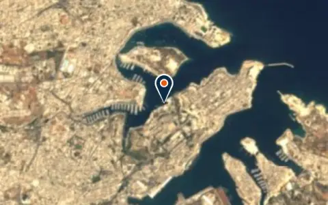 MarinaExcelsior MarinaTa' Xbiex Restaurant
 Ta' Xbiex
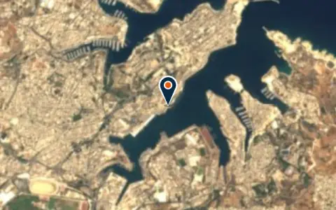 MarinaLaguna MarinaFloriana Boats up to 13.6 m VHF 13 Fuel · Showers · Restaurant
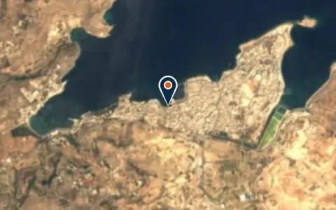 MarinaIl-MenqaSan Pawl il-Baħar Restaurant
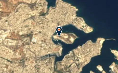 MarinaManoel Island Yacht MarinaTa' Xbiex Fuel · Restaurant
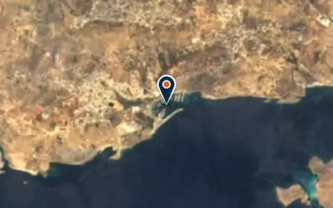 MarinaMġarr MarinaGozo Restaurant
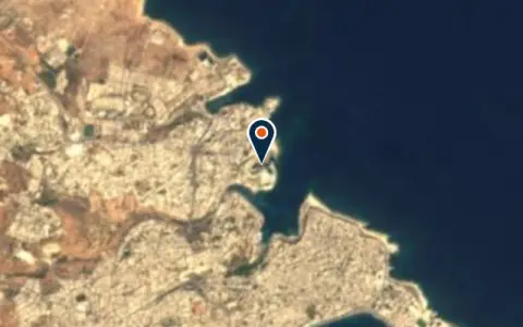 MarinaPortomaso MarinaTa' Xbiex Restaurant
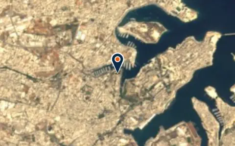 MarinaSa Maison MarinaTa' Xbiex Power · Pump-out · Restaurant
Boatyards and haul-out
All boatyards in Malta →Boat services
All boat services →Charter
All charter →Coming up
All events →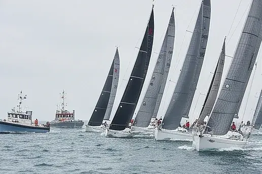
Wind here, next 7 days
The forecast loads as you scroll.
Hour by hour, waves and sunset → · Data: MET Norway (CC BY 4.0). Always check the official marine forecast before you leave.
Questions about Malta, Gozo and Comino
Can I anchor in the Blue Lagoon?
Only outside the buoyed swimmer zones and lanes. By day the lagoon is very busy with tour boats; early morning and evening are calmer, and Santa Marija bay on Comino is a quieter alternative.
Is Malta a good place to winter a boat?
Yes. The climate is mild, marinas and yards are well equipped, flights are frequent and many cruisers spend the winter here. Book a winter berth well in advance.
What is the gregale?
A strong north-easterly wind, most common from autumn to spring, which can raise a heavy sea in north-east-facing bays and harbour entrances. Move to shelter on the south-west side if one is forecast.
Cruising nearby
Written by the Boat Almanac editors from charts, official notices and boaters' reports; lists are updated from the almanac every day. Something changed? Suggest a correction.