Bay of Kotor and the Budva Riviera: Herceg Novi to Bar
The map opens as you scroll to it
A fjord-like bay under high mountains, the walled town of Kotor, the superyacht marina at Tivat, and the open coast down to Budva and Bar.
JFMAMJJASOND
The region
Montenegro's coast is short but striking. The Bay of Kotor, the Boka Kotorska, winds deep inland between mountains that rise straight from the water, through narrow straits into inner basins. At its far end the walled town of Kotor sits at the foot of a fortress-topped cliff, and on the way in you pass Perast and its two island churches.
Tivat, in the middle of the bay, has become a yachting centre, with Porto Montenegro, a large modern marina, and other marinas along its shore. Herceg Novi at the entrance has an old town and a marina, and the Lustica peninsula on the outer side has quiet bays.
Outside the bay the coast runs south-east past Budva, with its walled old town and beaches, Sveti Stefan on its islet, and Petrovac, to Bar, the main commercial port, and Ulcinj near the Albanian border. The open coast has fewer sheltered anchorages, so most cruising is centred on the bay.
Winds and season
April to October. The inner bay is protected from the sea and often calm, but afternoon breezes can funnel through the straits. The bura (bora) from the north-east can drop off the mountains in strong gusts, especially in the inner basins and in autumn and winter. The jugo from the south-east brings swell along the open coast, rain and big seas at the bay entrance. Summer thunderstorms gather over the mountains in the afternoon.
The region in numbers
Counted from the records on Boat Almanac, November 2026. A number missing or wrong? Correct it on the place's page, and it helps the next crew planning here.
Getting there
- Tivat (TIV), Tivat about 24 km from the middle of the region
- Podgorica Airport / Podgorica Golubovci Airbase (TGD), Podgorica about 39 km from the middle of the region
- Dubrovnik Ruđer Bošković (DBV), Dubrovnik about 61 km from the middle of the region
Straight-line distance; by road it is usually a third longer. Each marina page gives its own nearest airports.
Want company on these waters? Find a buddy boat or crew on Sail together.
Where to stop
- Kotor
Walled town at the head of the bay, with a town marina and the fortress climb. - Perast
Baroque village with the islet churches of Our Lady of the Rocks and St George. - Tivat
Porto Montenegro and other marinas, the main base for repairs and supplies. - Herceg Novi
Old town and marina at the entrance of the bay. - Lustica bays
Quiet anchorages on the outer peninsula, facing the open sea. - Budva
Walled old town and marina on the open coast. - Sveti Stefan
The famous islet village; anchor off in settled weather only. - Bar
Commercial port with a marina, close to the Albanian border.
Been here? Rate a cove in a few taps and the next skipper will thank you.
Anchoring and mooring
The bay is deep close to shore in many places, so anchorages are limited to the shelving areas; mud and sand give good holding where you can find the right depth. Marinas use stern-to or finger berths. Off Sveti Stefan and Budva, anchoring is only comfortable in settled weather.
A one-week route
A realistic loop for a week, with short days you can stretch or cut to the weather. Check every leg on the chart and the route planner.
- Tivat to Herceg Novi, about 8 NM. Old town walk.
- Herceg Novi to the Lustica bays, about 8 NM. Swim off the open coast.
- Lustica to Budva, about 18 NM along the coast.
- Budva to Sveti Stefan and back to a sheltered berth in Budva, about 6 NM.
- Budva into the bay to Perast, about 25 NM. Visit the island churches.
- Perast to Kotor, about 6 NM. Climb to the fortress at dawn.
- Kotor to Tivat, about 8 NM.
Rules and protected areas
Clearing in: Ports of entry include Zelenika, Kotor, Porto Montenegro (Tivat), Budva and Bar. Go to one of them first to clear in and buy the vignette. Step by step in Arriving by boat in Montenegro.
Fuel, water, repairs and supplies
Tivat has the best services: lifts, yards, engine and rigging specialists and chandlers around Porto Montenegro and Bijela, where there is a shipyard. Fuel is at Porto Montenegro, Kotor, Herceg Novi, Budva and Bar. Water and power are in the marinas. Kotor, Tivat, Budva and Bar have supermarkets and markets.
Marinas
All marinas in Montenegro → MarinaMarina BudvaBudva Restaurant
 Budva
 MarinaPorto MontenegroHerceg Novi 500 berths VHF 71 Fuel · Water · Power · Wi-Fi · Pump-out
 MarinaAeroport MarinaHerceg Novi Restaurant
 MarinaBigovaHerceg Novi Restaurant
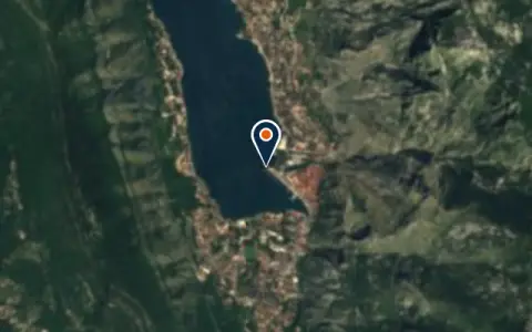 MarinaKotor Cruise PirsHerceg Novi Restaurant
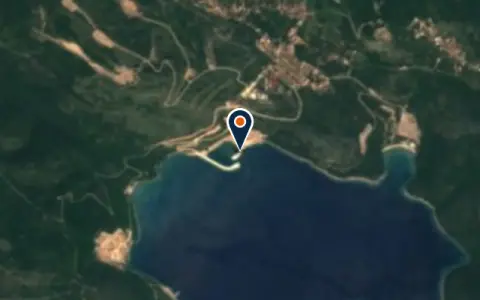 MarinaLuštica Bay Marina OfficeHerceg Novi Restaurant
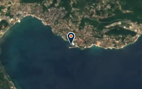 MarinaMarina – ŠkverHerceg Novi Restaurant
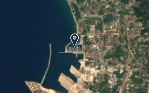 MarinaMarina BarBar Restaurant
 MarinaMarina KacemaUlcinj Restaurant
 MarinaPineHerceg Novi 26 berths Restaurant
 MarinaPortonovi MarinaHerceg Novi 238 berths Power · Pump-out · Restaurant
 MarinaVirpazarBoljevići Restaurant
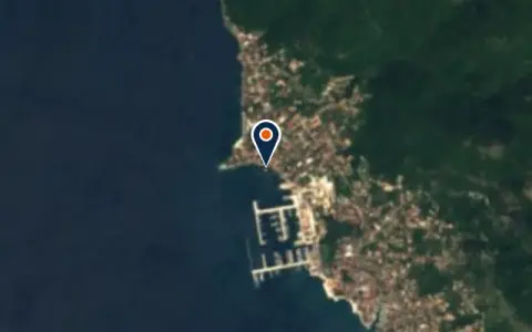 MarinaYacht club DelfinHerceg Novi Restaurant
Boat services
All boat services →Charter
All charter →Wind here, next 7 days
The forecast loads as you scroll.
Hour by hour, waves and sunset → · Data: MET Norway (CC BY 4.0). Always check the official marine forecast before you leave.
Questions about Bay of Kotor and the Budva Riviera
Do I need a vignette in Montenegro?
Yes. Foreign boats buy a vignette when they clear in at a port of entry. It allows the boat to stay and cruise for its period of validity.
Can I anchor in the Bay of Kotor?
In places. Much of the bay is deep right up to the shore, so anchoring is limited to the few shelving bays. Marinas at Kotor, Tivat, Herceg Novi and elsewhere are the usual choice.
How do I sail from Croatia to Montenegro?
Clear out of Croatia at Cavtat or Dubrovnik, then sail directly to a Montenegrin port of entry, usually Zelenika near the bay entrance or Kotor, to clear in.
Cruising nearby
Written by the Boat Almanac editors from charts, official notices and boaters' reports; lists are updated from the almanac every day. Something changed? Suggest a correction.