The Stockholm archipelago
The map opens as you scroll to it
Around thirty thousand islands, skerries and rocks east of the capital, sheltered sailing on brackish, tideless water.
JFMAMJJASOND
The region
From the middle of Stockholm you can sail east for a day and still be among islands. The archipelago is divided into inner, middle and outer bands: wooded islands with summer houses close to the city, then open fjärdar, and finally the bare rocks and fishing hamlets of the outer skerries facing the Baltic.
Vaxholm with its fortress, Grinda, Sandhamn with the Royal Swedish Yacht Club, Möja, Utö in the south and Arholma in the north are the classic stops, each with a guest harbour, a café and usually a bakery selling cinnamon buns. Between them are countless bays where you can lie alone with lines to a pine tree.
The water is brackish and there is effectively no tide, but the channels are narrow and the rocks are hard. Paper or electronic charts at a good scale are essential, and the big ferries and cruise ships on the Furusund and Sandhamn routes have right of way in practice.
Winds and season
Midsummer to mid-August is high season, with light to moderate winds and long daylight. June can still be cool and July is busiest around the popular harbours. Thunderstorms build on hot afternoons. From late August the evenings draw in fast and the archipelago empties.
The region in numbers
Counted from the records on Boat Almanac, November 2026. A number missing or wrong? Correct it on the place's page, and it helps the next crew planning here.
Getting there
- Stockholm-Bromma (BMA), Stockholm about 46 km from the middle of the region
- Stockholm-Arlanda (ARN), Stockholm about 54 km from the middle of the region
- Stockholm Västerås (VST), Stockholm / Västerås about 121 km from the middle of the region
Straight-line distance; by road it is usually a third longer. Each marina page gives its own nearest airports.
Legs along the coast
| To | About | At 6 knots |
|---|---|---|
| The west coast | 295 NM | 7 days of about 8 h |
Middle of one region to the middle of the next, with a quarter added for the coast and the wind. Plan the real legs in the route planner.
Want company on these waters? Find a buddy boat or crew on Sail together.
Where to stop
- Vaxholm
Fortress town at the gateway to the archipelago. - Grinda
Green island close to the city, with a guest harbour and walking trails. - Sandhamn
Sailing hub of the outer archipelago, start of the Gotland Runt race. - Möja
Quiet working island with several small harbours. - Utö
Southern island with old mine workings, beaches and a bakery. - Arholma
Northern outpost with a beacon and open views. - Gällnö
Nature reserve island in the middle archipelago. - Stockholm Wasahamnen
City guest berths near the Vasa museum.
Been here? Rate a cove in a few taps and the next skipper will thank you.
Anchoring and mooring
The local way is a stern anchor and a bow line to a rock or tree, or to one of the iron rings in popular bays. Many bays are soft mud with good holding. Use a long line and a sling round a tree to avoid damaging the bark.
A one-week route
A realistic loop for a week, with short days you can stretch or cut to the weather. Check every leg on the chart and the route planner.
- Stockholm city berth.
- Vaxholm, then on to Grinda.
- Through the middle archipelago to Möja.
- Sandhamn for the outer skerries.
- A quiet anchorage in a nature reserve bay.
- South towards Dalarö or Ornö.
- Utö, then back to the city or on to Nynäshamn.
Rules and protected areas
Clearing in: Arriving from outside the EU or with goods to declare, contact Swedish customs in advance; Sandhamn and Stockholm are usual places to clear. Step by step in Arriving by boat in Sweden.
Fuel, water, repairs and supplies
Guest harbours charge per night and offer power, water, showers and waste disposal. Fuel stations are in the larger harbours such as Vaxholm, Sandhamn and Nynäshamn. Shops in the outer archipelago may be small or seasonal. Stockholm and Saltsjöbaden have yards, sailmakers and chandlers.
Marinas
All marinas in Sweden →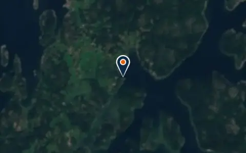 MarinaArholma Östra GästhamnNorrtälje 20 berths Fuel · Water
 Norrtälje
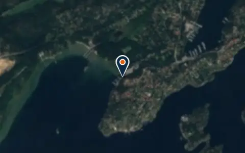 MarinaAskfatshamnenStockholm Restaurant
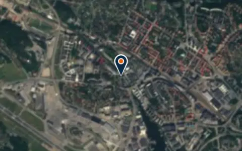 MarinaBällstavikens MotorbåtklubbBromma Restaurant
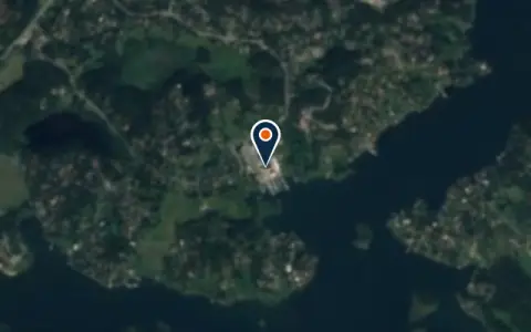 MarinaBjörnhammarvarvetÅkersberga 175 berthsBjörnhammarvarvet is a marina in Åkersberga, Sweden.
 MarinaBlidö WärdshusNorrtälje kommun Restaurant
 MarinaBromma MarinserviceBromma Restaurant
 MarinaFurusunds gästhamnNorrtälje kommun Water · Power · Wi-Fi · Showers · Pump-out
 MarinaGalärbryggan Sea ClubStockholm Fuel · Power · Restaurant
 MarinaGällnöVärmdö Restaurant
 MarinaGräddö MarinaNorrtälje 100 berths Fuel · Restaurant
 MarinaGrinds Hages BåtklubbStockholm Restaurant
 MarinaGuest HarbourVärmdö Power · Restaurant
 MarinaHägerstenshamnenHägersten Restaurant
 MarinaJohannesfreds BåtklubbJakarta Pusat Restaurant
Boatyards and haul-out
All boatyards in Sweden →Boat services
All boat services →Charter
All charter →Sailing schools
All courses →Coming up
All events →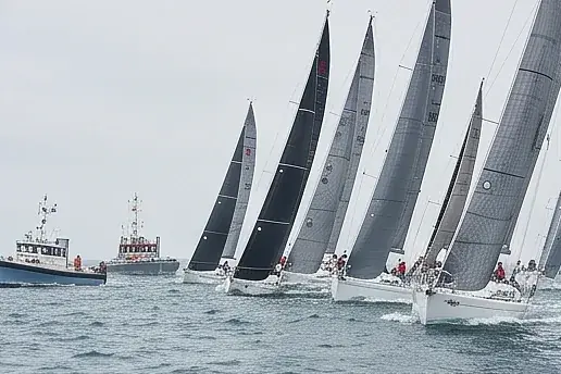
Wind here, next 7 days
The forecast loads as you scroll.
Hour by hour, waves and sunset → · Data: MET Norway (CC BY 4.0). Always check the official marine forecast before you leave.
Questions about The Stockholm archipelago
Is there tide in the Stockholm archipelago?
No real tide, but water level can change with pressure and wind by several tens of centimetres.
Can I empty my holding tank at sea?
No. Toilet waste may not be discharged anywhere in Swedish waters; use the free pump-out stations.
Do I need special charts?
Use detailed charts; the area is full of rocks and narrow channels, and the Swedish chart series covers it well.
Cruising nearby
Written by the Boat Almanac editors from charts, official notices and boaters' reports; lists are updated from the almanac every day. Something changed? Suggest a correction.