The Florida Keys and the Dry Tortugas
The map opens as you scroll to it
A 120-mile chain of islands with a coral reef along its ocean side: Key Largo, Islamorada, Marathon's Boot Key Harbor, Key West, and the fort at the Dry Tortugas.
JFMAMJJASOND
The region
The Florida Keys curve south-west from Miami to Key West, joined by the Overseas Highway. On the Atlantic side, a living coral reef runs parallel to the islands a few miles offshore, and Hawk Channel, between the reef and the Keys, gives a protected route for boats drawing up to about 1.5 to 2 metres. On the other side lie the shallow waters of Florida Bay and the Gulf, best for shallow-draft boats.
Marathon, in the middle, has Boot Key Harbor, a large city-run mooring field and one of the best-known winter cruiser communities in the US. Key West, at the end of the road, is lively and full of history, with marinas and anchorages around the island. Islamorada and Key Largo to the north are famous for fishing and diving.
About 70 miles west of Key West, the Dry Tortugas National Park is a group of small islands around Fort Jefferson, a huge 19th-century brick fort. There are no services at all: bring everything, including water and fuel for the return trip.
Winds and season
Winter, December to April, is dry and pleasant, with north-east to east winds and regular cold fronts that bring a few days of strong north winds. Summer is hot and humid with afternoon thunderstorms. The Atlantic hurricane season runs from 1 June to 30 November, with the most activity from August to October. The Gulf Stream flows north-east just outside the reef; wind against the Stream raises a steep, dangerous sea.
Getting there
- Key West (EYW), Key West about 40 km from the middle of the region
- Miami (MIA), Miami about 169 km from the middle of the region
- Southwest Florida (RSW), Fort Myers about 182 km from the middle of the region
Straight-line distance; by road it is usually a third longer. Each marina page gives its own nearest airports.
Legs along the coast
| To | About | At 6 knots |
|---|---|---|
| Chesapeake Bay | 1050 NM | 22 days of about 8 h |
Middle of one region to the middle of the next, with a quarter added for the coast and the wind. Plan the real legs in the route planner.
Want company on these waters? Find a buddy boat or crew on Sail together.
Where to stop
- Key Largo
Northern Keys, gateway to John Pennekamp Coral Reef State Park. - Islamorada
Fishing centre with marinas on both sides of the Keys. - Boot Key Harbor, Marathon
Large city mooring field, dinghy dock and cruiser community. - Bahia Honda
State park with a sheltered anchorage by the old railway bridge. - Key West
Marinas, mooring field and anchorages around the southernmost city. - Stock Island
Boatyards and marinas next to Key West. - Garden Key, Dry Tortugas
Anchorage by Fort Jefferson; national park, no services. - Hawk Channel
Protected route between the reef and the islands on the ocean side.
Been here? Rate a cove in a few taps and the next skipper will thank you.
Anchoring and mooring
Much of the area is shallow, with sand and grass over rock in places; check holding and swing room. Boot Key Harbor is mostly moorings managed by the city. Watch for crab-pot buoys on both sides of the Keys.
A one-week route
A realistic loop for a week, with short days you can stretch or cut to the weather. Check every leg on the chart and the route planner.
- Key Largo, snorkel the reef from a mooring buoy.
- Hawk Channel to Islamorada.
- Islamorada to Marathon, Boot Key Harbor.
- Marathon to Bahia Honda.
- Bahia Honda to Key West.
- Key West, or early start for the Dry Tortugas (about 70 NM).
- Dry Tortugas: Fort Jefferson, then back towards Key West when the weather allows.
Rules and protected areas
Clearing in: Key West is a common arrival point for boats coming from Cuba, Mexico or the Bahamas. Report to CBP on arrival (the ROAM app is accepted for eligible boats and crew). Step by step in Arriving by boat in United States.
Fuel, water, repairs and supplies
Marathon and Key West have marinas, fuel, water, pump-out boats, chandlers and haul-out yards; Stock Island has more boatyards. Supermarkets are easy to reach along the Overseas Highway. Plan fuel and water carefully for the Dry Tortugas, where there is none.
Boatyards and haul-out
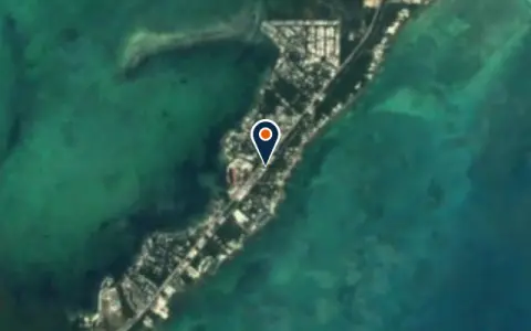
All boatyards in United States →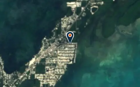 BoatyardKey Largo Harbor MarinaKey LargoKey Largo Harbor Marina is a boatyard in Key Largo, United States.
 Key Largo
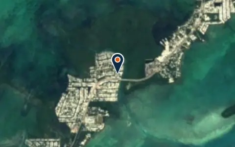 BoatyardBarn 2TavernierBarn 2 is a boatyard in United States.
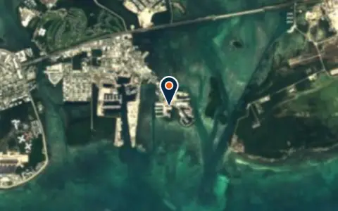 BoatyardBoat BarnKey WestBoat Barn is a boatyard in United States.
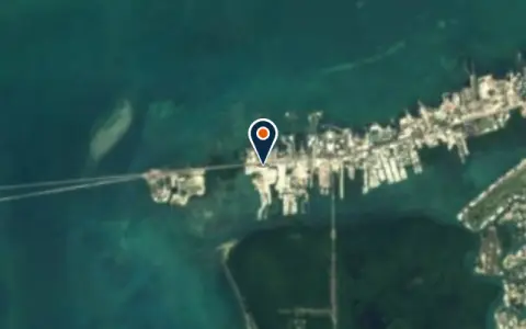 BoatyardHog Key Marine Boat YardMarathonHog Key Marine Boat Yard is a boatyard in United States.
 BoatyardHurricane Boat LiftsPlantationHurricane Boat Lifts is a boatyard in United States.
Charter
All charter →Coming up
All events →
Wind here, next 7 days
The forecast loads as you scroll.
Hour by hour, waves and sunset → · Data: MET Norway (CC BY 4.0). Always check the official marine forecast before you leave.
Questions about The Florida Keys and the Dry Tortugas
Can I pump out at sea in the Florida Keys?
No. The whole Florida Keys National Marine Sanctuary is a No Discharge Zone; use pump-out stations or pump-out boats.
Do I need a permit for the Dry Tortugas?
Yes, private boats need a free boat permit from the National Park Service, and there are no services, so bring everything.
What is Hawk Channel?
The protected passage between the Keys and the offshore reef on the Atlantic side, the usual route for sailboats.
Written by the Boat Almanac editors from charts, official notices and boaters' reports; lists are updated from the almanac every day. Something changed? Suggest a correction.