Cyclades: Kea to Santorini
The map opens as you scroll to it
The classic white-and-blue islands of the central Aegean, from Kea and Kythnos near Athens to Mykonos, Paros, Naxos, Milos and Santorini, ruled by the summer meltemi.
JFMAMJJASOND
The region
The Cyclades are the image of the Greek islands: whitewashed villages, blue domes and bare, sun-baked hills. The western islands, Kea, Kythnos, Serifos and Sifnos, are within a day's sail of Athens and are quieter and more traditional. In the centre, Syros has the elegant capital Ermoupoli, Tinos its great pilgrimage church, and Mykonos its windmills and nightlife.
Paros and Naxos, the largest islands, have well-protected harbours and plenty of anchorages; between them, the small islands of the Koufonisia have some of the clearest water in Greece. Milos, to the south-west, has a huge natural harbour and strange volcanic coastline at Kleftiko and Sarakiniko. Santorini, the drowned volcano, is spectacular but has very little shelter for yachts.
Sailing here is about planning around the wind. In July and August the meltemi can blow hard for days, and many skippers sail the Cyclades in June or September, or plan a route that keeps the wind on the beam or behind.
Winds and season
May to October. The meltemi, a strong north to north-east wind, blows from about mid-June to mid-September, often force 5 to 7 and sometimes stronger for several days, with steep seas between the islands and strong gusts in the lee of high ground. It usually eases at night. Late May, June and late September are calmer. Spring and autumn can bring southerly gales and rain.
The region in numbers
Counted from the records on Boat Almanac, November 2026. A number missing or wrong? Correct it on the place's page, and it helps the next crew planning here.
Getting there
- Mykonos Island National (JMK), Mykonos about 41 km from the middle of the region
- Santorini (JTR), Santorini Island about 87 km from the middle of the region
- Athens Eleftherios Venizelos (ATH), Spata-Artemida about 136 km from the middle of the region
Straight-line distance; by road it is usually a third longer. Each marina page gives its own nearest airports.
Legs along the coast
| To | About | At 6 knots |
|---|---|---|
| Saronic and Argolic Gulfs | 115 NM | 3 days of about 8 h |
| Sporades and Pelion | 180 NM | 4 days of about 8 h |
Middle of one region to the middle of the next, with a quarter added for the coast and the wind. Plan the real legs in the route planner.
Want company on these waters? Find a buddy boat or crew on Sail together.
Where to stop
- Kea: Vourkari
Sheltered bay with a quay and tavernas, a short hop from Athens. - Kythnos: Kolona
Sandbar between two bays, one of the most photographed anchorages in the Cyclades. - Syros: Ermoupoli
Neoclassical capital with a large harbour and good services. - Paros: Naoussa
Lively fishing harbour with a marina and anchorage. - Antiparos
Shallow channel with sheltered anchorages and a relaxed village. - Koufonisia
Tiny islands with turquoise water and sandy bays. - Milos: Adamas and Kleftiko
Huge natural harbour, and sea caves and arches on the south coast. - Sifnos: Vathi
Almost enclosed bay on the west coast, sheltered from the meltemi.
Been here? Rate a cove in a few taps and the next skipper will thank you.
Anchoring and mooring
Mostly sand with weed patches; holding is generally good in sand. In the meltemi, gusts off high ground can be violent even in a sheltered bay, so lay plenty of chain and choose bays open to the south. Town quays are stern-to with your own anchor; in strong north winds, side-on or bow-to berths in exposed harbours can be uncomfortable or dangerous.
A one-week route
A realistic loop for a week, with short days you can stretch or cut to the weather. Check every leg on the chart and the route planner.
- Lavrio to Kea, Vourkari, about 15 NM.
- Kea to Kythnos, Kolona, about 20 NM.
- Kythnos to Syros, Ermoupoli, about 25 NM.
- Syros to Paros, Naoussa, about 25 NM, meltemi on the beam.
- Naoussa to Antiparos, about 15 NM round Paros.
- Antiparos to Serifos, about 30 NM.
- Serifos to Kythnos, about 25 NM, then back to Lavrio next day.
Rules and protected areas
Clearing in: Syros (Ermoupoli) and Mykonos have port police and customs; most yachts arrive from Athens already cleared in. Pay TEPAI before sailing. Step by step in Arriving by boat in Greece.
Fuel, water, repairs and supplies
Syros has the main shipyard and yacht services in the Cyclades; Paros and Naxos have smaller workshops. Fuel is at Syros, Paros, Naxos, Mykonos and Milos, often by tanker on the quay. Water is supplied on many quays by a vendor; on the smaller islands it can be scarce. Shops are in every port town.
Marinas
All marinas in Greece → MarinaMarina IosIos Power · Pump-out · Restaurant
 Ios
 MarinaNaxos MarinaNaxos Restaurant
 MarinaBatsiAndros Restaurant
 Marinafishing portNaxos Restaurant
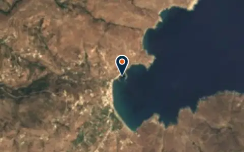 MarinaKorthiouAndros Regional Unit Restaurant
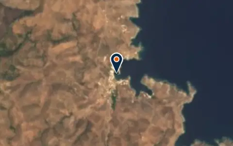 MarinaLimin LoutraKythnos Restaurant
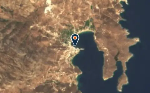 MarinaLivádhiSerifos 50 berths Restaurant
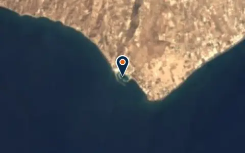 MarinaMarina Exomitis / VlychadaSantorini Restaurant
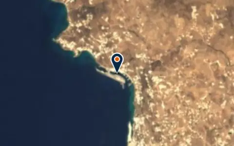 MarinaNew Port Public MarinaΜύκονος Restaurant
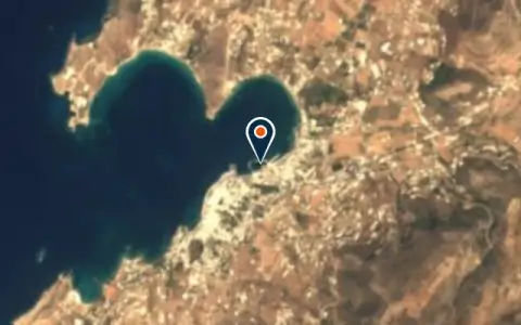 MarinaParikiaParoikia, Paros 30 berths Restaurant
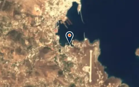 MarinaSyros MarinaSyros Restaurant
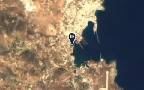 MarinaΑλιευτικό καταφύγιο Ερμούπολης (Καρνάγιο)Syros Restaurant
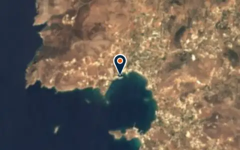 MarinaΑλιευτικό καταφύγιο ΦοίνικαSyros Restaurant
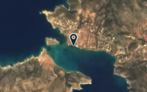 MarinaΜαρίνα Αγίου Γεωργίου ΑντιπάρουAntiparos Restaurant
Boatyards and haul-out
All boatyards in Greece → BoatyardNaousa MarineParos 50 t lift Boats up to 18 m VHF 16Naousa Marine serves as the main haul-out facility in the Cyclades, positioned in the well-sheltered bay of Naousa… BoatyardSyros Boatyard (Ermoupolis)Syros 50 t lift Boats up to 20 m VHF 16Ermoupolis on Syros has a long shipbuilding and repair tradition dating back to the nineteenth century, and the… BoatyardNeorion Syros ShipyardsSyrosNeorion Syros Shipyards is a boatyard in Greece. BoatyardTarsanas ShipyardsΕρμούποληTarsanas Shipyards is a boatyard in Ερμούπολη, Greece. BoatyardΝΑΥΠΗΓΟΞΥΛΟΥΡΓΕΙΟ ΚΑΡΑΜΟΛΕΓΚΟΣSyrosΝΑΥΠΗΓΟΞΥΛΟΥΡΓΕΙΟ ΚΑΡΑΜΟΛΕΓΚΟΣ is a boatyard in Greece. Opening hours: 08:00-16:00.
Boat services
All boat services →Charter
All charter →Sailing schools
All courses →Wind here, next 7 days
The forecast loads as you scroll.
Hour by hour, waves and sunset → · Data: MET Norway (CC BY 4.0). Always check the official marine forecast before you leave.
Questions about Cyclades
When is the best time to sail the Cyclades?
June and September are usually best: warm water and lighter winds than in July and August, when the meltemi can blow hard for days at a time.
Is Santorini a good place to stop by yacht?
It is spectacular but has little shelter. Small harbours like Vlychada on the south coast or a mooring in the caldera in settled weather are possible, but many skippers visit Santorini by ferry from a nearby island instead.
How do I plan around the meltemi?
Sail from north to south or with the wind on the beam, keep a day or two spare, check the forecast every morning, and choose south-facing harbours or well-sheltered bays when it is blowing.
Cruising nearby
Written by the Boat Almanac editors from charts, official notices and boaters' reports; lists are updated from the almanac every day. Something changed? Suggest a correction.