Sporades and Pelion: Volos to Skiathos, Skopelos and Alonissos
The map opens as you scroll to it
Green, pine-covered islands in the north-west Aegean, the national marine park around Alonissos, and the sheltered Pagasitic gulf under Mount Pelion.
JFMAMJJASOND
The region
The Northern Sporades are greener and softer than the Cyclades, covered in pine forest down to the water. Skiathos, the nearest to the mainland, has an airport, a lively town and many sandy beaches; Skopelos, next along, has a whitewashed town climbing a hill and bays like Panormos and Agnontas.
Alonissos and the uninhabited islands around it form the National Marine Park of Alonissos and Northern Sporades, one of the largest marine protected areas in the Mediterranean and a refuge for the Mediterranean monk seal. Anchoring and landing are restricted in parts of the park, and the best of it is quiet and remote.
On the mainland side, the Pagasitic gulf is almost enclosed, sheltered from the meltemi and dotted with villages under Mount Pelion. Volos, at its head, is a big town with a marina and all supplies, and makes a good base for exploring both the gulf and the islands.
Winds and season
May to October. The meltemi blows here too in July and August but is usually less strong than in the Cyclades; the channels between the islands can still be gusty. The Pagasitic gulf is protected and often calm. Late summer and autumn can bring thunderstorms and the occasional strong northerly.
Getting there
- Skiathos Island National (JSI), Skiathos about 6 km from the middle of the region
- Athens Eleftherios Venizelos (ATH), Spata-Artemida about 142 km from the middle of the region
- Thessaloniki Macedonia (SKG), Thessaloniki about 158 km from the middle of the region
Straight-line distance; by road it is usually a third longer. Each marina page gives its own nearest airports.
Legs along the coast
| To | About | At 6 knots |
|---|---|---|
| Cyclades | 180 NM | 4 days of about 8 h |
Middle of one region to the middle of the next, with a quarter added for the coast and the wind. Plan the real legs in the route planner.
Want company on these waters? Find a buddy boat or crew on Sail together.
Where to stop
- Skiathos town
Busy harbour with a quay and a lively old town. - Koukounaries (Skiathos)
Long pine-backed sandy beach with anchorage in settled weather. - Skopelos: Panormos
Wide, wooded bay on the west coast with good holding. - Skopelos: Loutraki and Glossa
Small harbour below the hill village of Glossa. - Alonissos: Patitiri
Main harbour of Alonissos, gateway to the marine park. - Alonissos: Steni Vala
Small, sheltered harbour on the east coast. - Kyra Panagia
Uninhabited island in the park with a large sheltered bay and a monastery. - Volos
Large town with a marina and full supplies at the head of the Pagasitic gulf.
Been here? Rate a cove in a few taps and the next skipper will thank you.
Anchoring and mooring
Sand and weed with patches of rock; holding is generally good in sand. Many bays are deep close to shore and some have rocky bottoms, so choose your spot carefully. In the marine park, use only the bays where anchoring is allowed. Town quays are stern-to with your own anchor.
A one-week route
A realistic loop for a week, with short days you can stretch or cut to the weather. Check every leg on the chart and the route planner.
- Volos to Trikeri or Agia Kyriaki, about 20 NM down the Pagasitic gulf.
- Trikeri to Skiathos town, about 20 NM.
- Skiathos to Skopelos, Panormos, about 15 NM.
- Panormos to Alonissos, Patitiri, about 15 NM.
- Patitiri to Kyra Panagia in the marine park, about 15 NM.
- Kyra Panagia back to Skopelos town, about 20 NM.
- Skopelos to Volos, about 35 NM, or to Skiathos for a flight home.
Rules and protected areas
Clearing in: Volos has port police and customs and is the nearest port of entry; most boats arrive already cleared in elsewhere in Greece. Pay TEPAI before sailing. Step by step in Arriving by boat in Greece.
Fuel, water, repairs and supplies
Volos has yards, a lift and engine and rigging services; Skiathos has smaller workshops. Fuel is at Volos, Skiathos and Skopelos, often by tanker. Water is available on most town quays, sometimes for a fee. Volos and Skiathos have large supermarkets; Alonissos and the smaller villages have small shops.
Marinas
All marinas in Greece →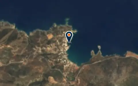 MarinaBali MarinaPanormos Restaurant
 Panormos
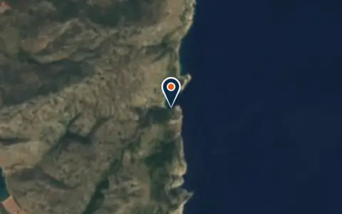 Marinadock to the MonasteryAlonnisos Municipalitydock to the Monastery is a marina in Greece.
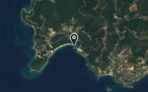 MarinaKoukounaries MarinaSporades Regional Unit Restaurant
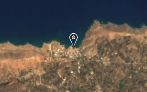 MarinaMarina of PanormosPanormos Restaurant
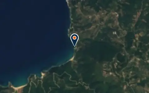 MarinaOrmos KatavathraSporades Regional Unit Restaurant
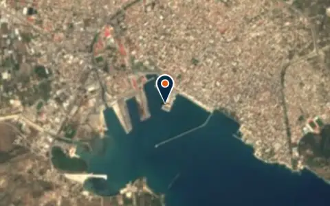 MarinaSail Aegean Charter OfficeVolos Restaurant MarinaVolos MarinaVolos 400 berths VHF 16Main port for the Sporades (Skiathos, Skopelos, Alonissos) and gateway to the Pagasetic Gulf, one of the…
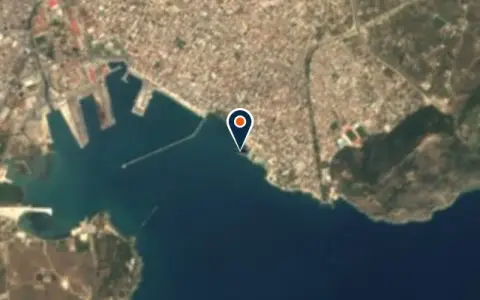 MarinaΜαρίνα ΒόλουVolos Restaurant
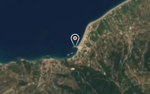 MarinaΜόλοςEuboea Regional Unit Restaurant
Boatyards and haul-out
All boatyards in Greece →
Boat services
All boat services →Charter
All charter →Wind here, next 7 days
The forecast loads as you scroll.
Hour by hour, waves and sunset → · Data: MET Norway (CC BY 4.0). Always check the official marine forecast before you leave.
Questions about Sporades and Pelion
What is special about the Alonissos marine park?
It protects the Mediterranean monk seal, one of the rarest seals in the world, and a wide area of islands and sea. Parts of it are closed to boats or to anchoring, landing and fishing; check the zoning before you visit.
Are the Sporades less windy than the Cyclades?
Usually, yes. The meltemi still blows in high summer, but it is often lighter here, and the Pagasitic gulf on the mainland side is well sheltered.
Where do I provision for a Sporades trip?
Volos and Skiathos have the best supermarkets. Alonissos and the smaller villages have only small shops, so stock up before heading into the park.
Cruising nearby
Written by the Boat Almanac editors from charts, official notices and boaters' reports; lists are updated from the almanac every day. Something changed? Suggest a correction.