Kefalonia, Ithaca and Zakynthos
The map opens as you scroll to it
Fiskardo, Kioni and Vathi, Argostoli, and Zakynthos with its turtle marine park.
JFMAMJJASOND
The region
Kefalonia is the largest Ionian island, mountainous and green. Fiskardo, in the north, is the best known harbour in the southern Ionian and fills up early every afternoon; Agia Effimia and Sami are quieter, and Argostoli, the capital, sits in a big bay in the south-west.
Ithaca lies just across the channel. Its main town, Vathi, is at the end of a long, sheltered inlet, and the small harbours of Kioni and Frikes face Kefalonia. Further south, Zakynthos has a busy main harbour and a national marine park in Laganas bay.
Winds and season
The afternoon north-westerly is often stronger here than further north and funnels down the channel between Kefalonia and Ithaca. Swell from the open Ionian reaches the west coasts; the east coasts and Ithaca's inlets are the sheltered side.
Getting there
- Kefalonia International Airport "Anna Pollatou" (EFL), Kefallinia Island about 15 km from the middle of the region
- Zakynthos International Airport "Dionysios Solomos" (ZTH), Zakynthos about 39 km from the middle of the region
- Corfu Ioannis Kapodistrias (CFU), Kerkyra (Corfu) about 184 km from the middle of the region
Straight-line distance; by road it is usually a third longer. Each marina page gives its own nearest airports.
Legs along the coast
| To | About | At 6 knots |
|---|---|---|
| Lefkada, Meganisi and the Inland Sea | 55 NM | 10 h, a day sail |
| Rhodes, Symi, Tilos and Halki | 450 NM | 10 days of about 8 h |
Middle of one region to the middle of the next, with a quarter added for the coast and the wind. Plan the real legs in the route planner.
Want company on these waters? Find a buddy boat or crew on Sail together.
Where to stop
- Fiskardo
Popular harbour; lines to the rocks or stern-to. Arrive by early afternoon. - Kioni (Ithaca)
Small bay with windmills and a short quay. - Vathi (Ithaca)
Main town at the end of a sheltered inlet. - Agia Effimia
Quiet harbour on Kefalonia's east coast. - Argostoli
Island capital in a large bay. - Zakynthos harbour
Large harbour on the island's east side. - Polis bay (Ithaca)
Bay on Ithaca's north-west coast near Stavros. - Sami
Ferry port on Kefalonia's east coast, close to the caves. - Poros (Kefalonia)
Small port on the south-east coast. - Frikes (Ithaca)
Little harbour on Ithaca's north-east coast.
Been here? Rate a cove in a few taps and the next skipper will thank you.
Anchoring and mooring
Kefalonia and Ithaca are higher and steeper than the islands to the north, so bays are often deep, with sand and mud on the bottom and some weed. Fiskardo and Kioni are stern-to with anchor, very crowded in summer, and anchors often cross. Many skippers take a line ashore in the smaller coves. Afternoon gusts come down off the mountains, especially at Agia Effimia and Vathi, so allow plenty of scope.
A one-week route
A realistic loop for a week, with short days you can stretch or cut to the weather. Check every leg on the chart and the route planner.
- Vathi (Ithaca) to Kioni, about 10 NM. Harbour village with windmills.
- Kioni to Fiskardo, about 6 NM across the channel. Arrive early for a quay space.
- Fiskardo to Agia Effimia, about 12 NM. Quiet harbour, mountain views.
- Agia Effimia to Sami and back to Polis bay (Ithaca), about 10 NM.
- Ithaca to Argostoli round the south of Kefalonia, about 35 NM. Longer leg, turtles in the harbour.
- Argostoli to Poros (Kefalonia), about 25 NM.
- Poros back to Vathi (Ithaca), about 20 NM.
Rules and protected areas
Clearing in: Argostoli and Zakynthos are ports of entry. Check the current list in the Greece entry guide. Step by step in Arriving by boat in Greece.
Fuel, water, repairs and supplies
Argostoli and Zakynthos have the most services and fuel; the smaller harbours have water and shops. For haul-out and big jobs most owners go north to Preveza or Lefkada.
Marinas
All marinas in Greece →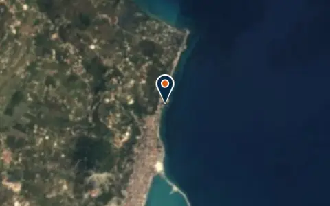
 Ζάκυνθος
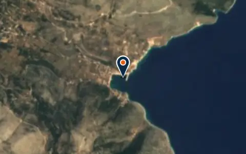
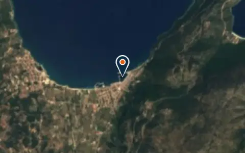
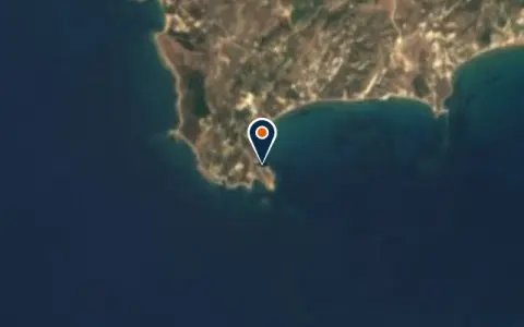
Charter
All charter →Sailing schools
All courses →Wind here, next 7 days
The forecast loads as you scroll.
Hour by hour, waves and sunset → · Data: MET Norway (CC BY 4.0). Always check the official marine forecast before you leave.
Questions about Kefalonia, Ithaca and Zakynthos
How crowded is Fiskardo?
In July and August the quay often fills by early afternoon. Arrive before lunch or anchor in a nearby bay with a line ashore and take the tender in.
Can I see turtles?
Loggerhead turtles are often seen in Argostoli harbour and around Zakynthos. Keep your distance and slow down; parts of Zakynthos are a marine park with strict rules.
Is Zakynthos within reach?
Yes, it is south of Kefalonia, a day sail away. Laganas bay in the south is a protected turtle area with restrictions on boats.
Cruising nearby
Written by the Boat Almanac editors from charts, official notices and boaters' reports; lists are updated from the almanac every day. Something changed? Suggest a correction.