Rhodes, Symi, Tilos and Halki
The map opens as you scroll to it
The south Dodecanese: Rhodes' medieval harbour, Lindos, colourful Symi and the quiet islands to the west.
JFMAMJJASOND
The region
Rhodes is the largest island of the Dodecanese, with a marina outside the walls and the old Mandraki harbour by the medieval town. Lindos, on the east coast, has an anchorage below its acropolis. Rhodes lies close to the Turkish coast, a short hop from Marmaris.
Symi, to the north-west, is the most photographed harbour in the region: Gialos, ringed by colourful houses, with the monastery bay of Panormitis on the other side of the island. To the west lie Tilos and Halki, small and quiet, with one main harbour each.
Winds and season
This is meltemi country. From July to early September the north to north-west wind often blows force 5 to 7 for days, stronger between the islands and off the capes. Plan passages for the morning and choose harbours on the south side when it blows. June and September are gentler.
The region in numbers
Counted from the records on Boat Almanac, November 2026. A number missing or wrong? Correct it on the place's page, and it helps the next crew planning here.
Shelter by wind
Where boats in this region find shelter when the wind blows from each direction. From the route data and sailors' reports; check the forecast and your chart, as swell can wrap round headlands.
| Wind from | Sheltered |
|---|---|
| N | Bozukkale, Serçe Limanı |
| NE | Bozukkale, Serçe Limanı |
| E | Bozukkale, Serçe Limanı |
| SE | Serçe Limanı |
| S | Serçe Limanı |
| SW | Bozukkale, Serçe Limanı |
| W | Bozukkale, Serçe Limanı |
| NW | Bozukkale, Serçe Limanı, Anthony Quinn Bay |
Getting there
- Rhodes International Airport "Diagoras" (RHO), Rhodes about 31 km from the middle of the region
- Kos International Airport "Ippokratis" (KGS), Kos Island about 88 km from the middle of the region
- Dalaman (DLM), Dalaman about 103 km from the middle of the region
Straight-line distance; by road it is usually a third longer. Each marina page gives its own nearest airports.
Legs along the coast
| To | About | At 6 knots |
|---|---|---|
| Kefalonia, Ithaca and Zakynthos | 450 NM | 10 days of about 8 h |
| Kos, Nisyros and Pserimos | 55 NM | 10 h, a day sail |
Middle of one region to the middle of the next, with a quarter added for the coast and the wind. Plan the real legs in the route planner.
Want company on these waters? Find a buddy boat or crew on Sail together.
Where to stop
- Rhodes marina and Mandraki
Marina outside the walls; Mandraki for the old town. - Lindos
Bay under the acropolis; open to some swell. - Gialos (Symi)
Stern-to on the town quay; crowded in summer. - Panormitis (Symi)
Sheltered monastery bay. - Livadia (Tilos)
Main harbour of a quiet island. - Halki
Small harbour with a village around it. - Pedi (Symi)
Bay next to Gialos with a quieter anchorage. - Kamiros Skala
Small harbour on Rhodes' west coast, facing Halki. - Agios Pavlos bay (Lindos)
Small bay below the acropolis, often busy. - Seskli
Islet off Symi's south coast with clear water.
Harbours and anchorages on the route planner
| Place | Type | Fuel | Water | Pump-out | Shelter |
|---|---|---|---|---|---|
| Bozukkale | Anchorage | sheltered from N, NE, E, SW, W, NW | |||
| Serçe Limanı | Anchorage | sheltered all round |
Positions are approximate. Plan a passage between any two of them in the route planner.
Coves rated by captains
- Anthony Quinn Bay · 5/5 from 1
Been here? Rate a cove in a few taps and the next skipper will thank you.
Anchoring and mooring
Around Rhodes, Symi, Tilos and Halki bottoms are mostly sand and rock, often deep. Symi's Gialos harbour is stern-to with anchor and very busy with day boats, and the wash from ferries is strong. Panormitis has a big bay with good holding in sand. On Rhodes, Lindos bay gives shelter from the meltemi in sand, but it is popular. Tilos and Halki harbours are small: arrive early. The summer meltemi blows hard here, so prefer harbours and bays open to the south.
A one-week route
A realistic loop for a week, with short days you can stretch or cut to the weather. Check every leg on the chart and the route planner.
- Rhodes marina to Symi (Gialos), about 25 NM. Colourful harbour; arrive by early afternoon.
- Gialos to Panormitis, about 8 NM. Monastery bay with good holding.
- Panormitis to Tilos (Livadia), about 25 NM. Quiet island.
- Tilos to Halki, about 20 NM. Small harbour village.
- Halki to Lindos, about 30 NM across to Rhodes. Acropolis above the bay.
- Lindos day or swim stops along the east coast, about 10 NM.
- Lindos to Rhodes marina, about 25 NM.
Rules and protected areas
Clearing in: Rhodes and Symi are ports of entry. Check the current list in the Greece entry guide. Step by step in Arriving by boat in Greece.
Fuel, water, repairs and supplies
Rhodes has a marina with lift-out, chandlers and the full range of trades. Fuel is at Rhodes and by tanker on the islands. The smaller islands have water and shops but few repair options.
Marinas
All marinas in Greece →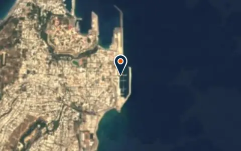 MarinaDanEri Yachts RhodosRodos Wi-Fi · Showers · Restaurant
 Rodos
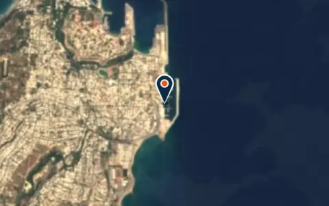 MarinaNew MarinaRodos VHF 71 Power · Restaurant
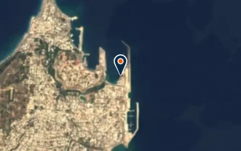 MarinaCommercial HarborRodos Restaurant
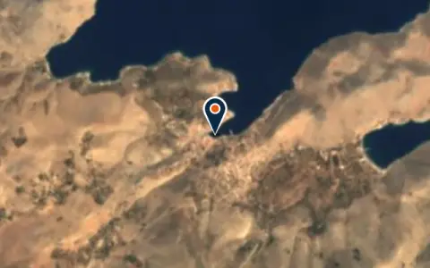 MarinaGialosRhodes Regional Unit Restaurant
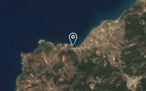 MarinaKamiros SkalaRhodes Regional Unit Restaurant
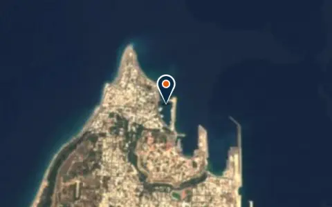 MarinaMandraki HarbourRhodes VHF 16 / 12The iconic harbour of Rhodes, where the Colossus once stood.
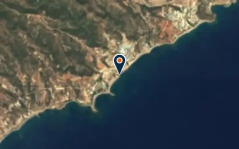 MarinaSailing Rhodes KiotariRhodes Restaurant
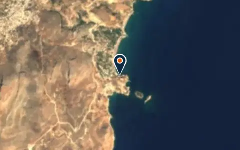 MarinaStegna Bay PortRhodes Regional Unit Restaurant
 MarinaTourist PortRhodes Restaurant
 MarinaΛιβάδιMegalo Chorio Restaurant
 Marinaλιμάνι ΜανδράκιRhodes Restaurant
 MarinaΛιμάνι της ΚολώναςRhodes Restaurant
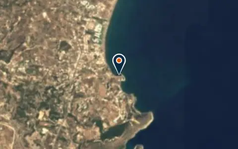 MarinaΛιμάνι ΦαληρακιούFaliraki Restaurant
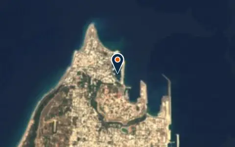 MarinaΜαρίνα ΜαντρακιούRhodes Restaurant
Boatyards and haul-out
All boatyards in Greece →
Boat services
All boat services →Charter
All charter → CharterBlue Cruise GreeceRhodesTheir skippered programmes are well-suited to sailors who want to cover long distances in comfort while leaving navigation… CharterSOTOS water sportsFalirakiSOTOS water sports is a boat rental and charter company in Greece. Confirm berths, prices and services directly… CharterWater Sports ActionRhodesWater Sports Action is a boat rental and charter company in Greece. Confirm berths, prices and services directly…
Wind here, next 7 days
The forecast loads as you scroll.
Hour by hour, waves and sunset → · Data: MET Norway (CC BY 4.0). Always check the official marine forecast before you leave.
Questions about Rhodes, Symi, Tilos and Halki
Is the meltemi strong around Rhodes?
Yes. In July and August it often blows force 5 to 7 from the north-west, sometimes more, with steep seas between the islands. Plan passages for the morning and choose harbours on the south and east sides.
Can I visit Turkey from Symi?
Symi is close to the Turkish coast, but you must clear out of Greece and into Turkey formally. Many skippers do this from Rhodes or Symi as a port of entry check point; check the current status.
Where can I get repairs?
Rhodes has the biggest choice of marine trades and a yard. The smaller islands have very limited services.
Cruising nearby
Written by the Boat Almanac editors from charts, official notices and boaters' reports; lists are updated from the almanac every day. Something changed? Suggest a correction.