Oslofjord and the south coast: Oslo to Kristiansand
The map opens as you scroll to it
Skerry-sheltered sailing past white wooden towns, from the capital's fjord down to the Skagerrak coast.
JFMAMJJASOND
The region
The Oslofjord runs some fifty miles from the capital to the open Skagerrak, and almost all of it is protected water. Oslo itself has guest berths right in the city, a short walk from the opera house and the museums, and the fjord below is lined with sailing towns such as Drøbak, Horten and Tønsberg, one of the oldest towns in the country.
Outside the fjord the south coast, Sørlandet, is the summer playground of Norwegian sailors. Behind a fringe of smooth granite islands you can sail for days without meeting real sea: Stavern, Kragerø, Risør, Lyngør and Arendal each have a guest harbour, white painted houses and an evening light that barely fades in midsummer.
The outer edge is the Skagerrak, which can be short and steep when a south-westerly blows against the current. Most skippers keep to the inner leads and pop out only for the gaps between archipelagos, choosing a settled morning for the open stretches.
Winds and season
The sailing season runs from late May to early September, with the Norwegian holiday weeks in July the busiest. Summer winds are mostly light to moderate south-westerlies, often with a sea breeze building in the afternoon. Fronts can bring a day or two of strong south-westerly wind and rain; the Skagerrak builds a steep sea quickly. Water is cold outside July and August, and nights can be cool all summer.
Getting there
- Sandefjord Airport, Torp (TRF), Sandefjord(Torp) about 52 km from the middle of the region
- Kristiansand (KRS), Kristiansand(Kjevik) about 115 km from the middle of the region
- Oslo-Gardermoen (OSL), Oslo (Gardermoen) about 167 km from the middle of the region
Straight-line distance; by road it is usually a third longer. Each marina page gives its own nearest airports.
Legs along the coast
| To | About | At 6 knots |
|---|---|---|
| The western fjords | 210 NM | 5 days of about 8 h |
Middle of one region to the middle of the next, with a quarter added for the coast and the wind. Plan the real legs in the route planner.
Want company on these waters? Find a buddy boat or crew on Sail together.
Where to stop
- Oslo city guest harbours
Berth in the heart of the capital; book or arrive early in July. - Drøbak
Pretty fjord town at the narrows, popular weekend stop. - Tønsberg
Long town quay with restaurants, gateway to the Færder islands. - Færder National Park
Skerries and islands at the fjord mouth; anchor and go ashore on the smooth rock. - Stavern
Sheltered harbour by the old naval base, lively in summer. - Kragerø
Archipelago town with dozens of anchorages in the islands around it. - Lyngør
Car-free island village with a narrow, well protected harbour. - Arendal
Town guest harbour at Pollen, right in the centre.
Been here? Rate a cove in a few taps and the next skipper will thank you.
Anchoring and mooring
Many anchorages are deep close to steep rock; the Norwegian way is to put a stern anchor out and take bow lines to rings or bolts in the rock. Carry a long line ashore and a rock pin or two. Holding in mud is generally good once you find a patch shallow enough.
A one-week route
A realistic loop for a week, with short days you can stretch or cut to the weather. Check every leg on the chart and the route planner.
- Oslo, provision and walk the waterfront.
- Down the fjord to Drøbak for the narrows and lunch, on to Son or Horten.
- Tønsberg town quay.
- Into the Færder islands; anchor among the skerries.
- A settled morning crossing to Stavern.
- Inner leads to Kragerø and an island anchorage.
- Risør or Lyngør, then onward or back up the fjord.
Rules and protected areas
Clearing in: Arriving from outside the Schengen area or with goods to declare, call customs in advance and clear in at a port with customs service; Oslo and Kristiansand are the usual choices. Step by step in Arriving by boat in Norway.
Fuel, water, repairs and supplies
Guest harbours (gjestehavn) have electricity, water, showers and often washing machines, paid by app or a machine on the pontoon. Fuel docks are common and many are card-operated around the clock. Supermarkets are close to most harbours; alcohol stronger than light beer is sold only in Vinmonopolet shops. Larger yards and chandlers are around Oslo, Tønsberg, Sandefjord and Kristiansand.
Marinas
All marinas in Norway → MarinaBopallenStrömstads kommun Restaurant
 Strömstads kommun
 MarinaKorshamn EkenäsStrömstads kommun Restaurant
 MarinaKyrkosundStrömstads kommunKyrkosund is a marina in Sweden.
 MarinaStrömstad GästhamnStrömstads kommun Restaurant
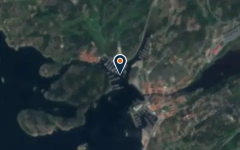 MarinaStrömstad MarinaStrömstads kommun 129 berths Pump-out · Restaurant
 MarinaBrevikStrömstads kommunBrevik is a marina in Sweden.
 MarinaGBM MarinHavstenssundGBM Marin is a marina in Sweden.
 MarinaHålkedalenStrömstads kommun Restaurant
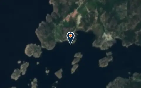 MarinaKungsviks hamnStrömstads kommunKungsviks hamn is a marina in Sweden.
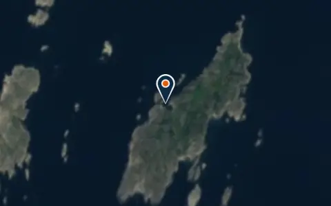 MarinaRamsö gästhamnHavstenssundRamsö gästhamn is a marina in Sweden.
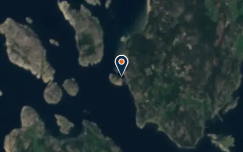 MarinaResö GästhamnHavstenssund Restaurant
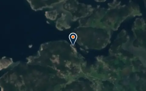 MarinaRossöhamnStrömstads kommun Water · Pump-out · Restaurant
Boatyards and haul-out
All boatyards in Norway → Sandefjord
Boat services
All boat services →Charter
All charter →Sailing schools
All courses →Wind here, next 7 days
The forecast loads as you scroll.
Hour by hour, waves and sunset → · Data: MET Norway (CC BY 4.0). Always check the official marine forecast before you leave.
Questions about Oslofjord and the south coast
Can I anchor anywhere in Norway?
Mostly yes, under the right of access, as long as you keep clear of houses, private jetties, cables and the seasonal bird sanctuaries.
Is the south coast suitable for a first Scandinavian cruise?
Yes. The inner leads give short hops in sheltered water with a harbour or anchorage every few miles.
When is it busiest?
The Norwegian summer holiday in July; harbours fill early in the afternoon, so arrive before lunch.
Cruising nearby
Written by the Boat Almanac editors from charts, official notices and boaters' reports; lists are updated from the almanac every day. Something changed? Suggest a correction.